Drone Documentation That Matters
Overstory means seeing the whole system from above. Professional drones delivering accuracy, repeatability, and clear records.
Drone Roof Inspections
Detailed aerial documentation captured by drone for property assessments and solar installation planning.
From $200
Real Estate Photography
Professional aerial photography and video captured by drone to showcase properties from every angle.
From $250
Construction Tracking
Progress tracking with repeat drone flights for consistent aerial documentation.
From $300
Forestry & Land Surveys
Aerial mapping, surveys, and inventory captured by drone for land management decisions.
Custom Quote
Fast Turnaround
Most projects delivered within 24-48 hours
Reliable Service
Professional equipment and experienced pilots
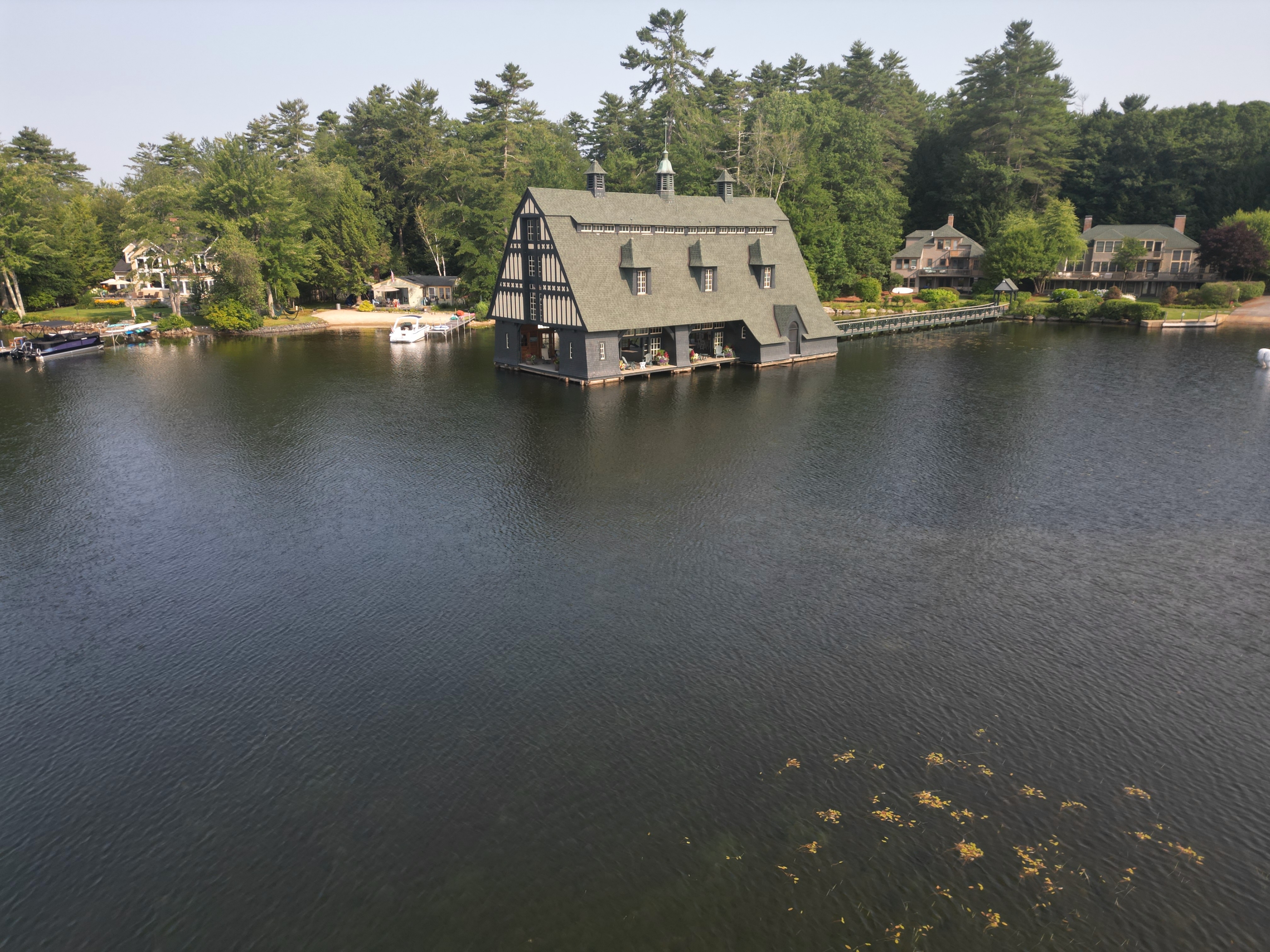
Featured Project
Lakefront Property Aerial Documentation
Our Work
Real aerial footage from recent projects across Connecticut.