Professional Drone Photography & Aerial Video in Connecticut & New Hampshire
See the Big Picture
Aerial photo and video for real estate, golf courses, and waterfront homes across Connecticut and New Hampshire.
It is just me. I show up and fly it, I edit it, I deliver it. Based in New Canaan, CT and on Lake Winnipesaukee.
Watch the footage
Real reels from real jobs. Ready for a listing page, a club website, or Instagram. Everything here was shot on paid work — aerial video for real estate listings, golf course marketing, and lakefront homes — not stock footage with my logo on it.
Country Club Highlight Reel
Wide course overview, sand traps, water-hazard greens, and the clubhouse in golden morning light. This is the kind of reel that lives on a club's homepage and Instagram.
Lakefront Property Reel
Golden-hour aerial of pine-lined shores, private docks, and a quiet cove captured at sunrise.
Luxury Estate Walkthrough
Golden-hour aerial of a large residential property with a pond, mature trees, and surrounding acreage.
Drone photography services: real estate, golf courses & more
Pick what fits your property. Each one has its own page with examples and pricing, and every job is the same deal: drone photography in Connecticut or New Hampshire, flown and edited by the same person.
Real Estate Drone Photography
From $49MLS-ready stills and a listing video that make a property look like the best one in the feed. Built for agents. Most of my real estate drone photography in Connecticut happens in Fairfield County — New Canaan, Darien, Westport — but I'll cover a listing anywhere in the state. Shot, edited, and back to you within 48 hours.
See examples
Golf Course Drone Photography
From $49Course flyovers, hole-by-hole footage, and social-ready reels for member recruiting and event marketing. Golf courses are some of my favorite flying — fairways, bunkers, and water hazards read beautifully from the air, especially at first light. I work around tee times so nobody's round gets interrupted.
See examples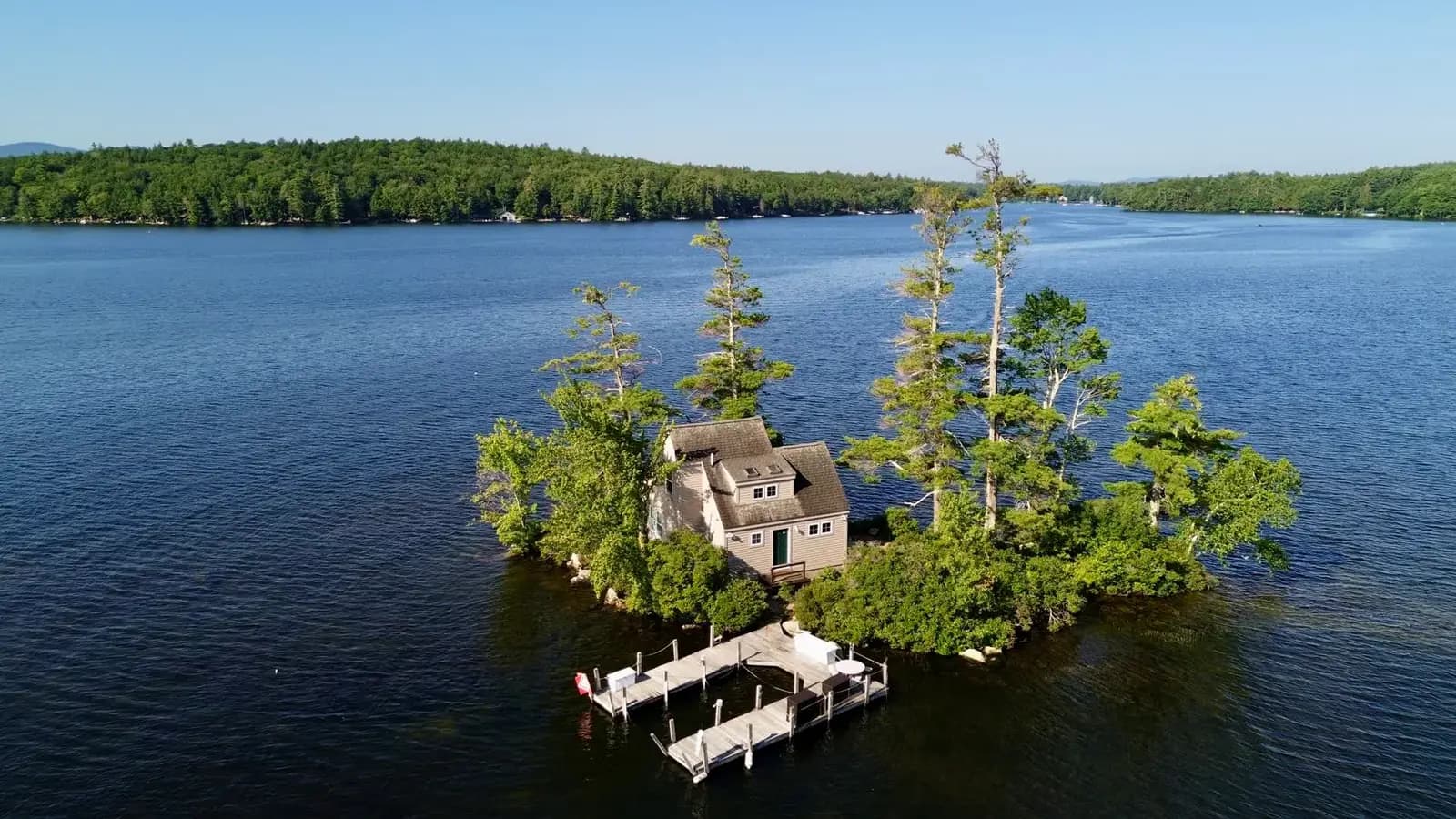
Lakefront Property Photography
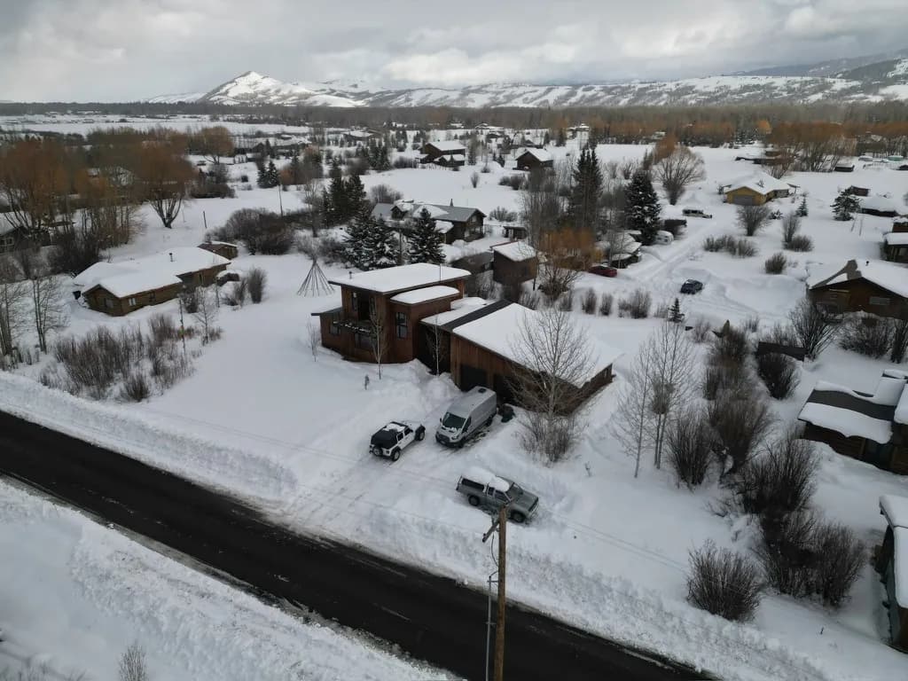
From $49Shoreline, dock, and water views shot the way buyers actually want to see them. I spend half the season in Moultonborough, so Lake Winnipesaukee drone photography — docks, coves, sunset water lines — is a specialty. If your property touches water in New Hampshire or Connecticut, I can show it from angles a ground camera can't reach.
See examples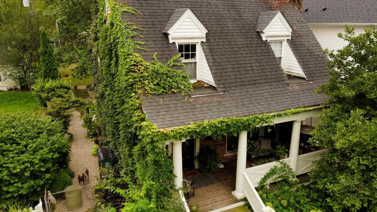
Drone Roof Inspections
From $49Close, detailed roof imagery with nobody on a ladder. Good for claims, solar quotes, and buying decisions. A roof inspection drone flight in Connecticut usually takes me under an hour on site, and you get sharp images of every slope, valley, and flashing detail. Homeowners use them for storm damage and insurance claims; inspectors and solar installers use them to quote without climbing.
See examples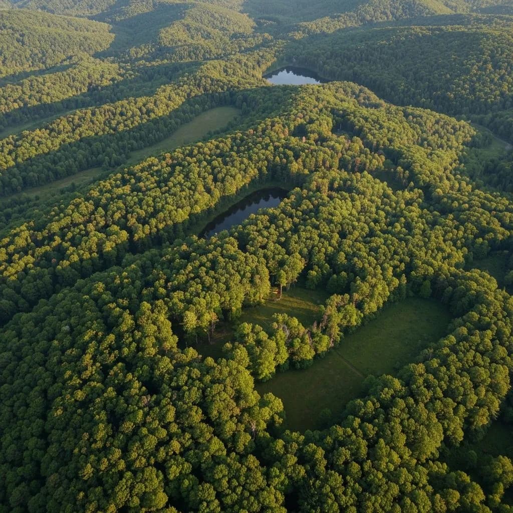
Drone Land Survey & Forestry
From $49Aerial documentation for land trusts and landowners: boundaries, canopy, wetlands, and before/after records. A drone land survey covers ground in minutes that would take a full day to walk, and I can refly the same route next season for a clean comparison. I've mapped wooded parcels, ponds, and trail networks across Connecticut.
See examples
Why people hire me for drone photography
You talk to the person who shows up, flies the drone, and edits the footage. No account managers, no markup for a team you never meet, no template package that ignores what your property actually is.
FAA Part 107 certified, $1M insured on every flight, and I handle all the airspace coordination myself. That last part matters more than it sounds: a lot of Fairfield County sits in controlled airspace, so flying legally means getting authorization before takeoff. I sort that out before I ever put a date on the calendar.
I fly the same gear on a $49 roof job as I do on a golf course shoot, and I edit everything myself the same day I shoot it whenever I can.
Most jobs are edited and delivered within 48 hours, ready for MLS, a club website, or Instagram. Real estate agents get listing-ready stills and a walkthrough video. Clubs get reels they can post all season.
Based in New Canaan, CT and on Lake Winnipesaukee. Summers I split time with New Hampshire, so drone photography in the Lakes Region gets the same 48-hour turnaround as a listing in Fairfield County.
Pricing starts at $49 because the goal is to make this an easy yes. If the shot list grows, the price grows with it — but you'll know the number before I fly.
Where I fly: Connecticut & New Hampshire
Fairfield County and all of Connecticut, plus the Lake Winnipesaukee area of New Hampshire.
Home base is New Canaan, so most of my drone photography in Connecticut happens within an easy drive: Fairfield County first, then Litchfield, New Haven, and the shoreline. In the summer I'm on Lake Winnipesaukee in Moultonborough, covering the Lakes Region — Wolfeboro, Meredith, Center Harbor, and the coves and islands in between. Each town above has its own page with examples of local work and notes on airspace, if you want to see what I've shot near you. If you're not sure whether I'll travel to your property, just ask. The answer is usually yes.
Tell me what you need shot.
Send me the property and what you're using the footage for. I'll come back the same day with pricing and a couple of dates. A roof in Fairfield County, a listing on the shoreline, a cottage on Winnipesaukee — it all starts the same way.
Quick request
Pick a service and a rough timeline. I will pre-fill the rest.
Two clicks now, the rest of the details on the next screen.
Or skip straight to the full form: